◆
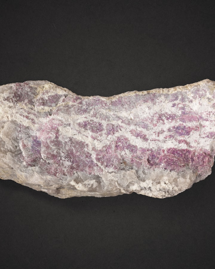
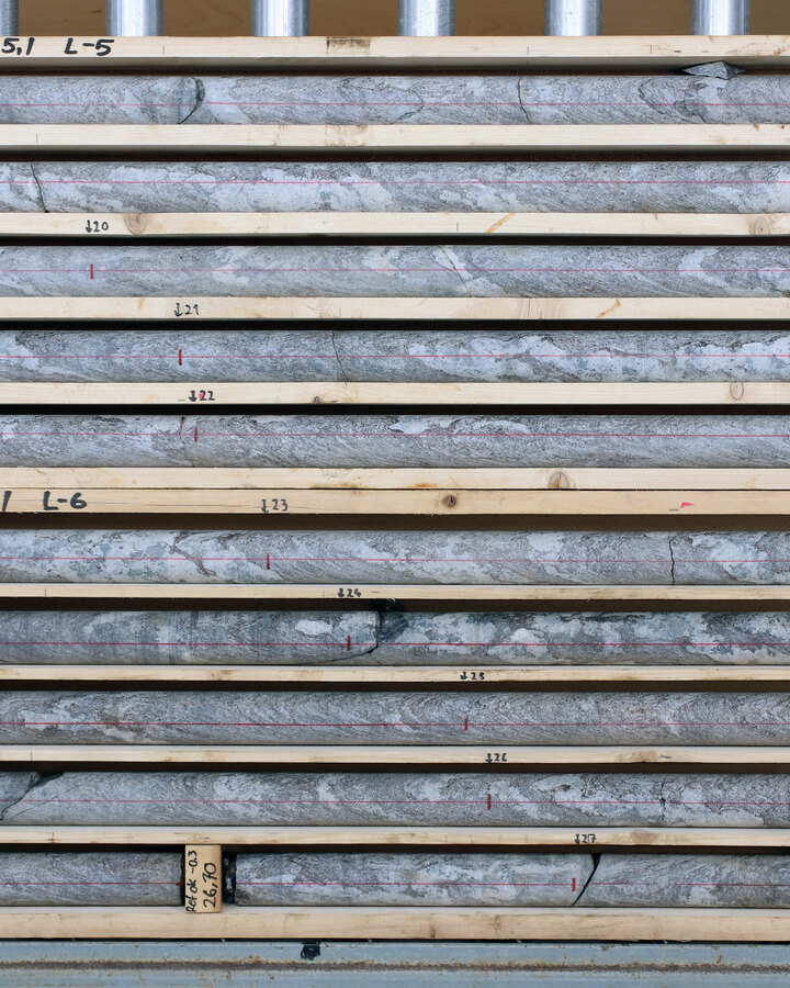
Rock SampleCritical minerals, found by AI.
We are an AI-powered geoscience platform that interprets the earth, analyzes decades of exploration data, and identifies your next high-potential drill target with a level of speed and precision no human team could achieve alone.
Our coverage begins in Canada, with provincial geological surveys across British Columbia, Ontario, and Québec.


National geoscience coverage from the United States Geological Survey.

Coverage extending across the South American shield.
Geoscience Australia and the state surveys, with coverage reaching across New Zealand.

National geological surveys across Finland, Sweden, Norway, the United Kingdom, and Ireland.


37.8 million km²
Roughly 25% of Earth’s land, across Canada, the United States, Brazil, Australia, New Zealand, and northern Europe. More than twice the size of Russia.
A drill program commits a large budget to a small number of holes, and the cost of targeting the wrong ground is measured in seasons, not days.
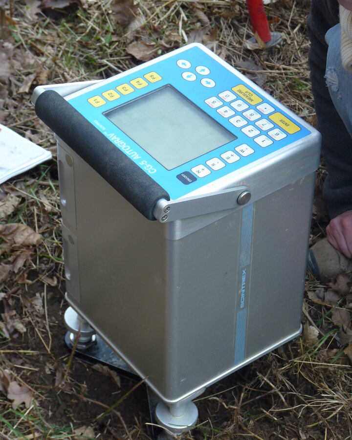
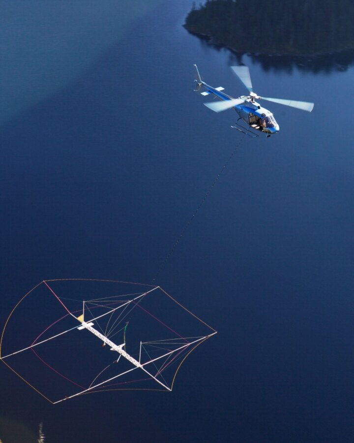
Decades of geophysics, geochemistry, and drill logs already sit in your archives, in formats and coordinate systems that rarely line up.
A single anomaly is easy to read. The relationship between a dozen data layers, across a whole district, is not.
The metals behind smart vehicles, robotics, and energy storage have to be found faster than the world has ever found them.
DepoDart finds the interaction patterns buried in your gigabytes of mining data and translates them into the position of your target.
DepoDart incorporates the knowledge in your data into the millions of rows we have processed from decades of mineral exploration. The power of your data is enhanced by all the mining data that already exists.
DepoDart works with you at every step of the project, making sure that what you want to achieve is exactly what we deliver. We project your expectations into every piece of code, every algorithm, and every metric we design for you.
Any data format, any geospatial system — raw, incomplete, inconsistent. Clients deliver what they have. DepoDart ingests, normalizes, and resolves spatial conflicts internally.
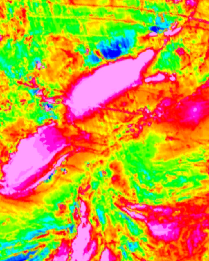
DepoDart produces variable-resolution prospectivity maps, with detail set by the resolution of your training data. Regional datasets resolve to 50 to 100 m pixels; high-resolution proprietary datasets resolve to 10 to 25 m pixels.


Our model doesn’t focus on a single substance but on a whole set of them. This provides not only a variety of targets but also context and justification of the predictions. It positions prediction within a particular mineral system, enabling its interpretation from a geoscience perspective.
DepoDart is transparent and explainable. It automatically surfaces the connections between each prediction and the inputs that drove it, so the result is easy to justify. Opacity is one of the central problems mining has with AI, and it is the part we deliberately set out to solve.
We work alongside you throughout the project so the output meets your requirements. The model is shaped around your data, your geology, and the questions you actually need answered.
Whatever your experience has been with other AI approaches, this one is different. The architecture is intrinsically distinct from anything else available and incorporates every piece of information at once, finding interactive patterns at a higher level.
DepoDart does more than produce a prospectivity map for a single target. It returns a multi-level map covering the full set of variables across your land.
DepoDart is an AI platform for mineral exploration. It ingests geological, geophysical, and geochemical data, learns the signatures of known mineral deposits, and produces ranked drill targets and prospectivity maps for an area of interest. Our team brings together geologists, data scientists, and software engineers, and we work directly with exploration companies to turn their data into actionable guidance for discovery and mine development.
We are working today across Canada, Australia, and the United States, helping exploration teams find the metals the next era of technology depends on. Smart vehicles, robotics, energy storage, and renewable infrastructure all require commodities that the world will need to discover faster than ever, and we are committed to contributing the tooling and the data that make this possible.